GREEN ATLAS
DEVELOPING SIMULATIONS TOOLS TO UNDERSTAND GREEN AND URBAN SPACES IN BARCELONA
Abstract
In the context of rapid urbanization, balancing the development and conservation of green space is a challenging task for urban planning and urban administrative management. Accurate measurement of green spaces in urban areas is an important source of information when evaluating the effect of urban development on green space.
This study aims to create a tool which gauges the understanding of green and urban spaces through a selected key performance indicators, based on visual inputs in an urban setting. Some of the three main inputs applied includes tree geo-locations, number of buildings, and road area. Furthermore, this urban generator tool may provide a virtual visualization key performance index such as green space, CO2 capture, sum of buildings, and green density in urban planning and replace the traditional green indexes at a community scale for urban administrators.
.
Efficient computation and visualization is accomplished through the use of techniques from computational design inputs. The study will demonstrate the effectiveness of urban generator in helping planners to develop simulation tools to understand green and urban spaces, particularly in this case, the city of Barcelona. Moreover, depicting how a data-driven understanding of the value and impact of speculative iterations can benefit the design-development process for urban planners and city municipalities to quickly have data-driven decision making for urban development.
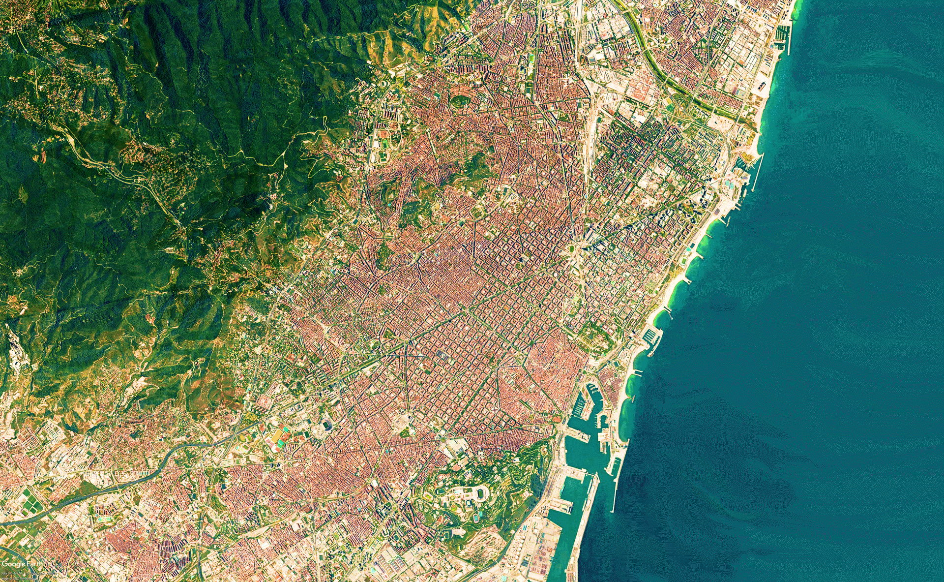
Importance of green urban spaces in cities
More than 54% of the global population live in cities and the urban population is predicted to increase from the current 3.5 billion to 6.2 billion in the next 30 years. Thus, most of the global population now have their daily contact with nature and wildlife through urban green spaces. An increasing number of studies show the importance of green spaces in urban areas, the main contributions of green infrastructure and biodiversity are as follow; Ensures the presence of nature in the city, reduces air pollution, sequesters and stores carbon, reduces noise pollution, moderates temperatures, opens up pockets of space and contributes to pacifying the city, contributes to physical and mental health and wellbeing, promotes contact and interaction with nature, and most importantly improves livability of the city.
.
Methodology
The approach of the project has been experimental, by applying different tools we have tried to understand the spaces and the tools itself. This has been applied in different parts of the city, modifying the existing scenarios but also proposing new layouts based on generative design and the analysis of their outputs.
One of the method of the simulation will use Isovist as a tool to generate the number of trees in a given path. The output of the simulation will then be used to evaluate the key performance indicators mentioned, to then used for model comparison to determine the best performing urban model for the city of Barcelona.
An isovist is the set of visible points from a vantage point. In the field of landscape architecture and landscape planning a similar concept is known as a 'viewshed' (Lynch 1976). Based on the concept of an Isovist, the given point will represent as a citizen walking in the city in a given path, that projects the perspective of a single observer in its environment. What is visible to that observer constitutes the isovist, or in other words: an isovist is a Euclidean, geometrical representation of space (a region), as can be seen from one observation point bounded by occluding surfaces.
Generative scenarios
In addition to spatial impact measures, it would be interesting to include qualitative attributes in the evaluation of the impact of a proposed change. For example in this stage, evaluating the visual impact of the different generative design by keeping a constant parameters such as density and the existing road as input could give us an outputs that we can use as indicators such as; number of buildings, volume of buildings, roof area, square meters of green area, and road length.
Video player
Trees in sight (Isovist)
Aoki (1991) [2] suggested that most people have a favorable impression of a street landscape if greenery is present in more than 30% of the view. Using the Isovist tool of DeCoding Spaces, the retrieved geo-located tree points data of Barcelona can then be regarded as a variable to evaluate a greenery score index. The trees that are visible in specific degrees from where the person is standing in the selected area of simulation.
Evaluating performances
Occlusivity (Openness)
Stamps (2005a) gives a broad overview of empirical research relating the geometrical aspects of space to the experience of space. Visual permeability, locomotive permeability and enclosure of a pedestrian's environment are amongst others found to correlate with judgments on safety. Recent neurophysiologic findings even indicate that there is a region in the brain that responds strongly to spatial enclosure (Epstein and Kanwisher 1998).
.
In this research, urban occlusivity is taken as a variable which in the end is considered as an urban comfort scale. This empirical background is probably not complete. Nevertheless it provides enough evidence of a strong relation between visual measures of space, perceptions about space, and its use, to put visibility analysis when it comes to designing urban spaces.
.
Trees in urban environments are likely to play an increasingly significant role in improving the quality of life in cities due to their environmental and social benefits for the population, and they are considered to be an essential urban feature for defining the urban structure of cities and for evaluating the quality of public areas.
UI
From the simulations generated earlier we then could develop a user interface for simulating green and urban spaces in Barcelona to understand more about its quality in different areas of the city
The user interface will feature different indexes of key performance indicators, which could display data of a selected area / neighborhood when selected. The key performance indicators include; occlusivity, open space / public space, number of buildings, total build area, trees in sight, tree density, CO2 capture, and other comfort related parameters such as solar radiation, wind, temperature and noise level.
.
In the end, the application of data rich models and analysis tools will help to develop block and master plan typology that can help meet Barcelona urban reconfiguration while maintaining proper selected key performance indicators to residential units and streets. Ultimately, the characteristics that will make a lively and well functioning neighborhood will come from the architectural and urban design, but grounded on rigorous, data driven analysis.
.
Without the aid of these tools and methodology the process for determining compliance with city regulations can take months and testing individual designs can be time and cost consuming. Using computational algorithms to determine the iterations of complying options could be able to quickly analyze future design options.
It is a project of IAAC, Institute of Advanced Architecture of Catalonia.
Master in City and Technology, MACT 2019-2020.
Students: Alejandro Quinto, Byron Cadena, Elijah Munn, Aryo Dhaneswara.
Faculty: Eugenio Bettucchi, Rodrigo Aguirre.
Place: Barcelona, Spain